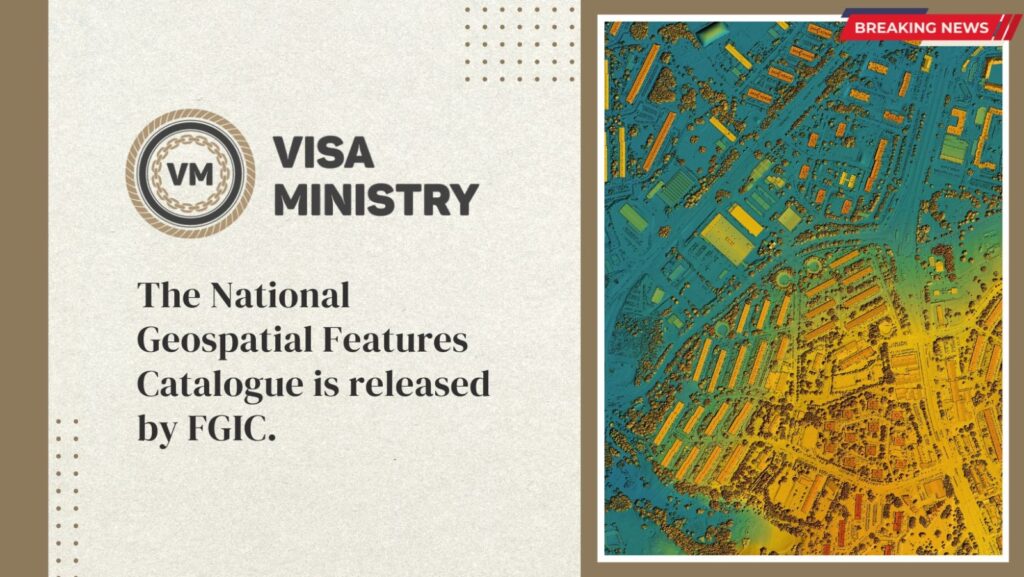
The National Geospatial Features Catalogue, which will help create a strategic data guide to facilitate the exchange of geographic information at a national level between federal and local government entities on the one side and the private sector on the other, was made public by the Federal Geographic Information Centre (FGIC).
In the performance agreements for federal government entities for 2022, which were signed in the presence of Sheikh Mohammed bin Rashid Al Maktoum, Vice-President, Prime Minister of the UAE, and Ruler of Dubai, the National Geospatial Features Catalogue is one of the transformational projects.
Performance agreements are unique initiatives that will advance the UAE’s competitiveness and usher it into the future. While transformational projects guarantee the application of the new government work methodology for the UAE Government, they are distinguished by their capacity to achieve significant impact across all sectors in a short amount of time.
In order to facilitate the exchange and integration of geographic information at the national level and to provide unified codes for all geographical features in the UAE, the National Catalogue aims to provide the authorities with a unified national model for geographic information for all entities operating in the sector. A spatial database of geographic data pertaining to more than 260 geographical features is used to accomplish this.
Through the integration of data for cutting-edge applications like artificial intelligence, virtual reality, and augmented reality, the Catalogue serves as a reference for the exchange of geospatial information about geospatial features and a manual for the technical specifications of this type of information. Reusing geospatial data will be possible thanks to the National Geospatial Features Catalogue, which will help the government save time and money.
In collaboration with the relevant local and private stakeholders, this transformational project supports the Center’s strategic plan’s directives for standardising standards and specifications for the geospatial data sector in the UAE. Additionally, it will support the UAE’s regional and international initiatives to improve its competitiveness metrics and geospatial information readiness.
Source– Travel daily